Log in
All resources
Create a design
353 Free Artworks of Spanish America
bibliothèque nationale de france
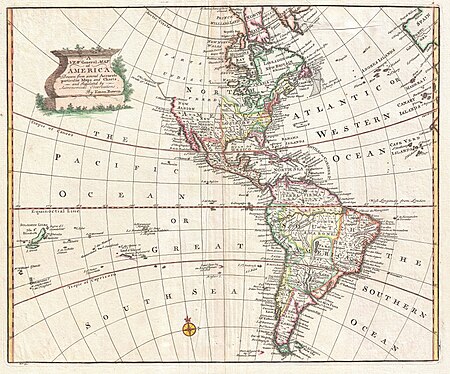
a map of the british empire in america with the french and spanish settlements adjacent thereto
maps in the library of congress
17th-century maps of the spanish empire
joan blaeu
maps by tomas lopez
atlas maior, vol 12 (america) - joan blaeu, 1667 - bl 114.h(star).12
copper engraving print
british library
allison v. armour expedition
conquest of the americas
aztec
a map of the british empire in america with the french and spanish settlements adjacent thereto
maps in the library of congress
portrait paintings in the smithsonian american art museum
realism,ashcan school
a map of the british empire in america with the french and spanish settlements adjacent thereto
maps in the library of congress
conquest of the americas
aztec
paintings of cityscapes by childe hassam
impressionism
maps by john cary
1799 maps
a map of the british empire in america with the french and spanish settlements adjacent thereto
maps in the library of congress
a map of the british empire in america with the french and spanish settlements adjacent thereto
maps in the library of congress
a map of the british empire in america with the french and spanish settlements adjacent thereto
maps in the library of congress
a map of the british empire in america with the french and spanish settlements adjacent thereto
maps in the library of congress
charles c. wood taylor
carlos wood
juan de la cruz cano y olmedilla
1755 maps of north america
a map of the british empire in america with the french and spanish settlements adjacent thereto
maps in the library of congress
a map of the british empire in america with the french and spanish settlements adjacent thereto
maps in the library of congress
18th-century maps of north america
1708 maps of north america
a map of the british empire in america with the french and spanish settlements adjacent thereto
bibliothèque nationale de france
a map of the british empire in america with the french and spanish settlements adjacent thereto
bibliothèque nationale de france
a map of the british empire in america with the french and spanish settlements adjacent thereto
bibliothèque nationale de france
a map of the british empire in america with the french and spanish settlements adjacent thereto
bibliothèque nationale de france
a map of the british empire in america with the french and spanish settlements adjacent thereto
bibliothèque nationale de france
sugarloaf mountain
guanabara bay
history of bahia
merchants
history of bahia
merchants
1790s maps of central america
1790s maps of cuba
1720s maps of the caribbean
maps by pieter mortier
history of the united states on stamps
columbian exposition issue
paintings of cityscapes by childe hassam
impressionism
1760s maps of the americas
1760 maps
maps in the library of congress
1765 maps
a map of the british empire in america with the french and spanish settlements adjacent thereto
bibliothèque nationale de france
atlas maior, vol 12 (america) - joan blaeu, 1667 - bl 114.h(star).12
1667 maps of north america
paintings of cityscapes by childe hassam
impressionism
nativity
swords
1762 maps of north america
maps by tomas lopez
1650s maps of the americas
1658 maps
1750s maps of central america
maps by tomas lopez
1750s maps of central america
maps by tomas lopez
engraving
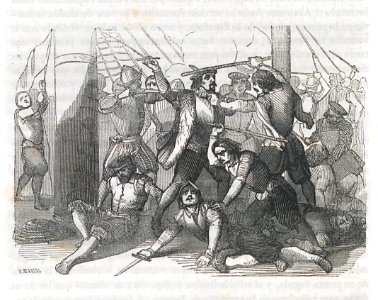
battle
flemish prints in the british museum
americae retectio
german edition of las casas in 1665
1665 illustrations
caricatures of the chincha islands war
1860s political cartoons of spain
american paintings in the los angeles county museum of art
impressionism
conquest of the americas
aztec
rafael castro y ordoñez
rio de janeiro
conquest of the americas
aztec
1690s maps of the caribbean
1690s maps of the americas
german edition of las casas in 1665
1665 illustrations
1807 maps of south america
maps by john cary
1810 maps of north america
1810 maps of mexico
german edition of las casas in 1665
1665 illustrations
glória (rio de janeiro)
markets in brazil
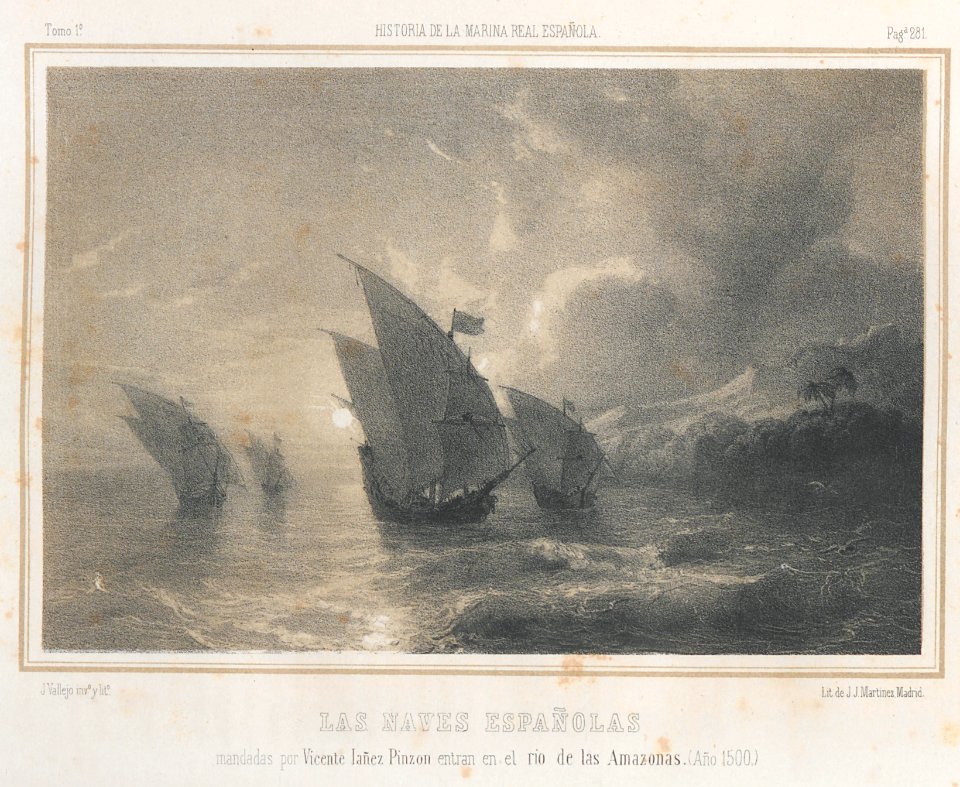
marine
boat
1850s maps of the americas
maps by john tallis
the bahamas
bermuda
maps by daniel lizars
1831 maps of mexico
bibliothèque nationale de france
maps by tomas lopez
atlas maior, vol 12 (america) - joan blaeu, 1667 - bl 114.h(star).12
1667 maps
painting
history
alhambra in the 1910s
alhambra in art
atlas maior, vol 12 (america) - joan blaeu, 1667 - bl 114.h(star).12
1667 maps
atlas maior, vol 12 (america) - joan blaeu, 1667 - bl 114.h(star).12
1667 maps
1760s maps of the americas
jean janvier
engravings by manuel salvador carmona
prontuario de paisajes de 1852
17th-century maps of south america
description de l'universe
atlas maior, vol 12 (america) - joan blaeu, 1667 - bl 114.h(star).12
1667 maps
atlas maior, vol 12 (america) - joan blaeu, 1667 - bl 114.h(star).12
1667 maps
atlas maior, vol 12 (america) - joan blaeu, 1667 - bl 114.h(star).12
1667 maps
flemish prints in the british museum
mannerism
guillaume-thomas raynal
1775 books
cristobal colon (ship, 1897)
allison v. armour expedition
george washington memorial parkway in washington, d.c.
the frieze of american history
maps by willem and johannes blaeu
1610s maps of the americas
maps by jean-baptiste bourguignon d'anville
1750s maps of the caribbean
1803 maps of the caribbean
maps by john cary
carte de l'amérique septentrionale by guillaume delisle (1700)
1700 maps of north america
maps by william home lizars
1836 maps of mexico
1762 maps of north america
maps by tomas lopez
allison v. armour expedition
forts in puerto rico
maps by william home lizars
1836 maps of mexico
bibliothèque nationale de france
cartouches by tomas lópez
17th-century self-portraits of men
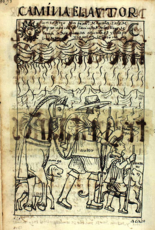
nueva corónica y buen gobierno
atlas maior, vol 12 (america) - joan blaeu, 1667 - bl 114.h(star).12
1667 maps
almirante oquendo (ship, 1893)
allison v. armour expedition
allison v. armour expedition
vizcaya (ship, 1891)
old maps of french guiana
1630s maps of brazil
portrait of george washington by giuseppe perovani
giuseppe perovani
considérations géographiques et physiques sur les nouvelles découvertes au nord de la grande mer
1755 maps of north america
liberty cap large cent
1889 books
juan de la cruz cano y olmedilla
1750s maps of the caribbean
almirante oquendo (ship, 1893)
allison v. armour expedition
almirante oquendo (ship, 1893)
allison v. armour expedition
virgen de los mareantes altarpiece (alcázar of seville)
art with red background
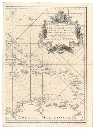
spanish-language maps
1780s maps of panama
omnium pene europae, asiae, aphricae, americae gentium habitus
prints by abraham de bruyn in the rijksmuseum amsterdam
nypl collection of atlases, gazetteers, guidebooks and other books
nypl lionel pincus and princess firyal map division
french-language maps of north america
1809 maps of north america
maps from the earth and its inhabitants, vol. xviii
south america in the 19th century
1740s maps of the americas
1747 maps of north america
religious paintings in the norton simon museum
spanish paintings in the norton simon museum
201 - 300 of 353
Next page
/ 4